Geometry means earth measure, so how did the ancients do that? The earth rotates counterclockwise in space like a gyroscope while revolving also counterclockwise around the sun, by the tilt of its axis wobbling in the clockwise direction very slowly at the rate of 72 years per degree, this base 6 rate so slow that it was precisely measured anciently by simple mechanical means such as the Celtic Cross, the Dixon Relicts, Maui’s Tanawa, and the Antikythera Device, all suited to transoceanic navigation.
When the slowly moving axis of the earth was used as the hand of a clock “ticking” within a hexagon circumscribed by the circle of the earth, the length of one side of that hexagon was determined by geometry according to the measured change of the backdrop of the stars in the night sky year to year, thereby determined the radius length of the earth (the same as the length of one side of the hexagon).
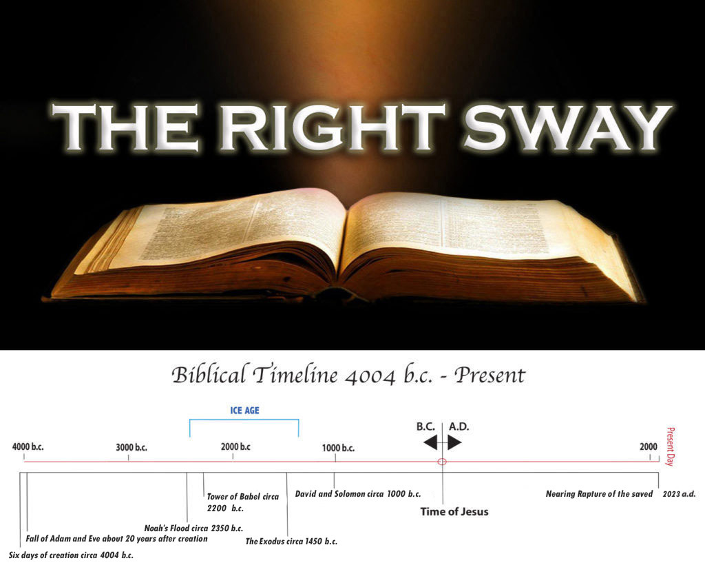
By this means were calculated and plotted the dimensions for the Great Pyramid of Giza, which seems to have been the hub of an ancient world mapping system of “leylines” sprung from that great edifice (see Maps of the Ancient Sea Kings by Hapgood). That the Great Pyramid is aligned precisely to true north conclusively proves that precise timekeeping for geometry was involved (to determine longitude), yet this solution is ignored by mainstream scientists because it certainly proves global navigation during the Ice Age when the Table of Nations (Genesis 10) was being lived out.
Our modern nautical mile mapping system by base 6 timekeeping plus the hindu Yugas of time as well the numerations of astrology are denominated according to the hexagon mapping solution (that one side of a hexagon is equal to the radius length of a circle circumscribing it), the modern nautical mile a subdivision (1/3,600th) of the radius length of the earth, and the base perimeter length of the Great Pyramid half of that, proving accurate timekeeping but by the earth’s axial precession rate.
The greek stade measure was 600 olympic feet (of 12.16 modern inches each), so ten stadia equal one nautical mile and five equal the base perimeter length of the Great Pyramid, proving that the Greeks with the Egyptians, Canaanites (Atlanteans), Sumerians, the indus valley Kushites, and the Pelasgians (progeny of Peleg, his father Heber) who taught this geometry to the Hellenes (of Javan’s son Elisha) were all privy to this global navigation technique by the earth’s axial precession rate, 72 years/degree.
Not surprising therefore is the Mayan long count calendar of time durations including tuns (360 days), katuns (7,200 days), and baktuns (144,000 days), the navigator Maya a daughter of the canaanite Atlas, also falling in line is the Hunab length (the Standard Teotihuacan Unit) almost precisely twice that of the royal cubit used for the Great Pyramid’s dimensions, calculated by the measurement of the earth’s axial precession rate to determine the radius length of the earth, for geometry, that’s earth measure.
