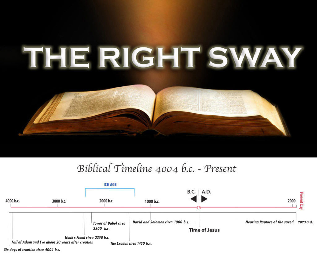
The Oronteus Fineus Map shows the Antarctic landmass with its mountain ranges and river valleys before snow and ice engulfed the whole thing, proving that the ancient source maps for the Oronteus Fineus Map were drawn early in the Ice Age, probably about 200 years after Noah’s Flood. Perhaps it was those same navigators who drew the source maps for the Hadji Ahmed Map showing the Bering Land Bridge between Siberia and Alaska which was above sea level during the Ice Age.
All Material Copyright The Right Sway 2022
