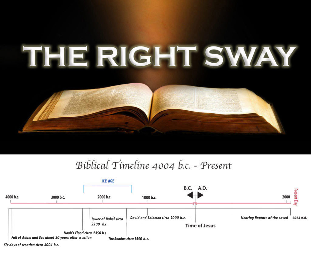
When the source maps used in 1532 by Oronteus Fineus for his map were drawn, it was not too far into the Ice Age (which followed Noah’s Flood), perhaps around the time of Abraham (three or four hundred years after the Flood) when the mountains of Antarctica and valleys with rivers were not yet covered by the Ice Age snowpack which would deepen thousands of feet more, to cover those mountain ranges.
