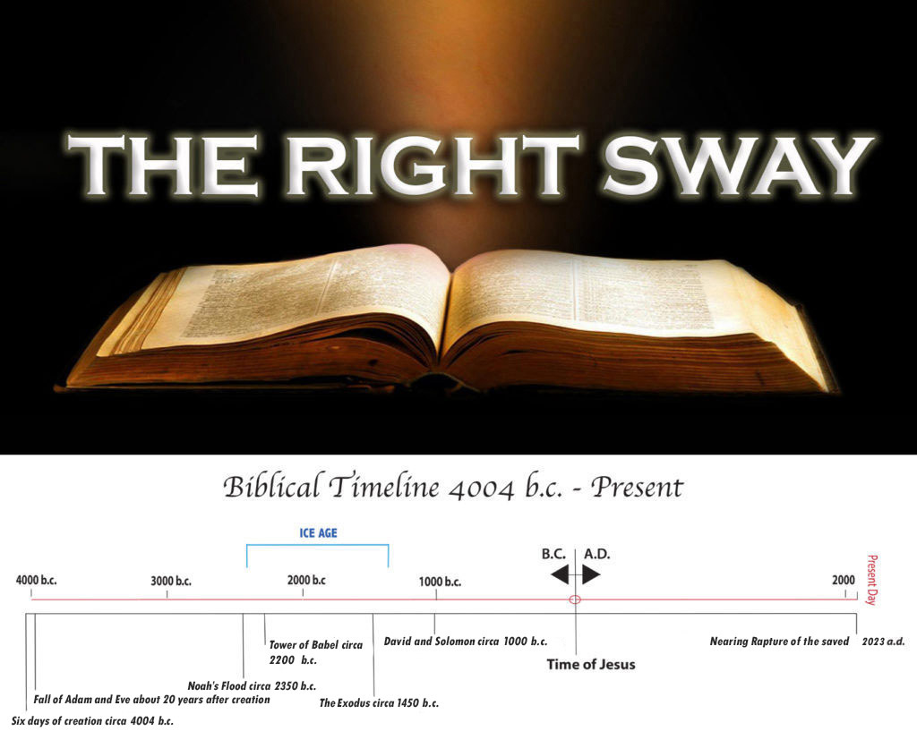
Near the ice age shoreline of Lake Moeris in Egypt, after years of searching, was discovered finally by satellite imagery the ruins of the big city Itjtawy, discovered by infrared readings of the soil chemically changed by the mud bricks of the city, this technique (also measuring vegetative/moisture anomalies) used by professor Sarah Parcak of the University of Alabama-Birmgham, who has discovered 3,000 settlements, a dozen pyramids, and 1,000 tombs, many of them far out in the desert, seemingly odd because the Ice Age ended actually circa 1500 b. c., a fact to greatly aid Parcak’s studies.